mars 28, 2023
cGIS Pro: sharing success with partners
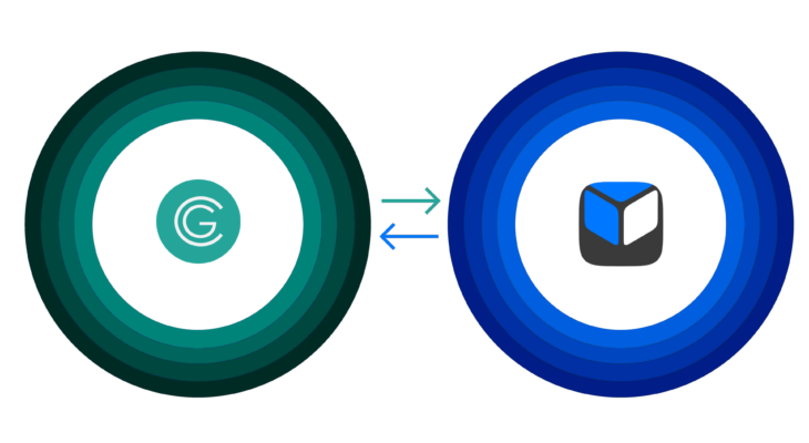
cGIS Technologies together with its partner ROMBIT company held a webinar for those interested in the implementation of a common information space for corporate customers.